


Zenmuse L3 Worry-Free Plus Combo
Select Combo
Take a Closer Look
1535nm Long-Range LiDAR
Zenmuse L3 achieves a maximum detection range of 950 m [1] at a pulse rate of 100 kHz, tested under 100 klx ambient light and on objects with 10% reflectivity.
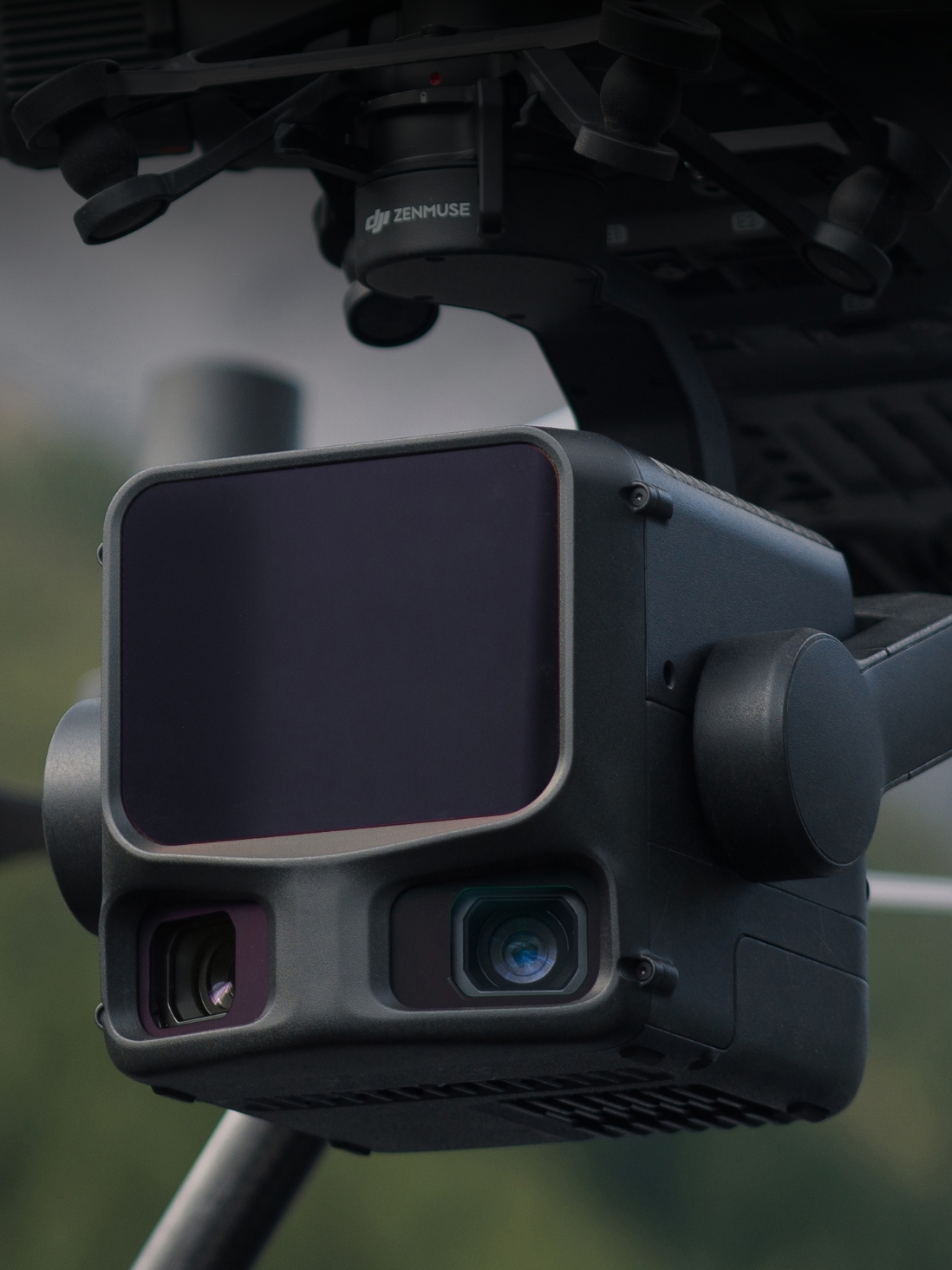
Dual 100MP RGB Mapping Camera System
Equipped with dual 100MP 4/3 CMOS RGB sensors and a mechanical shutter, Zenmuse L3 delivers significantly enhanced accuracy and efficiency. Pixel binning supports an effective 25MP resolution.
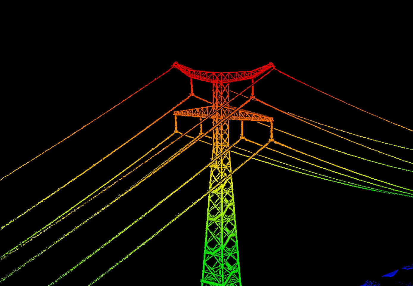
High Accuracy
Vertical accuracy is better than 3 cm at 120m altitude, better than 5 cm at 300 m, and better than 10 cm at 500 m [3], easily supporting mapping projects at 1:500, 1:1000, and 1:2000 scales.

High Penetration
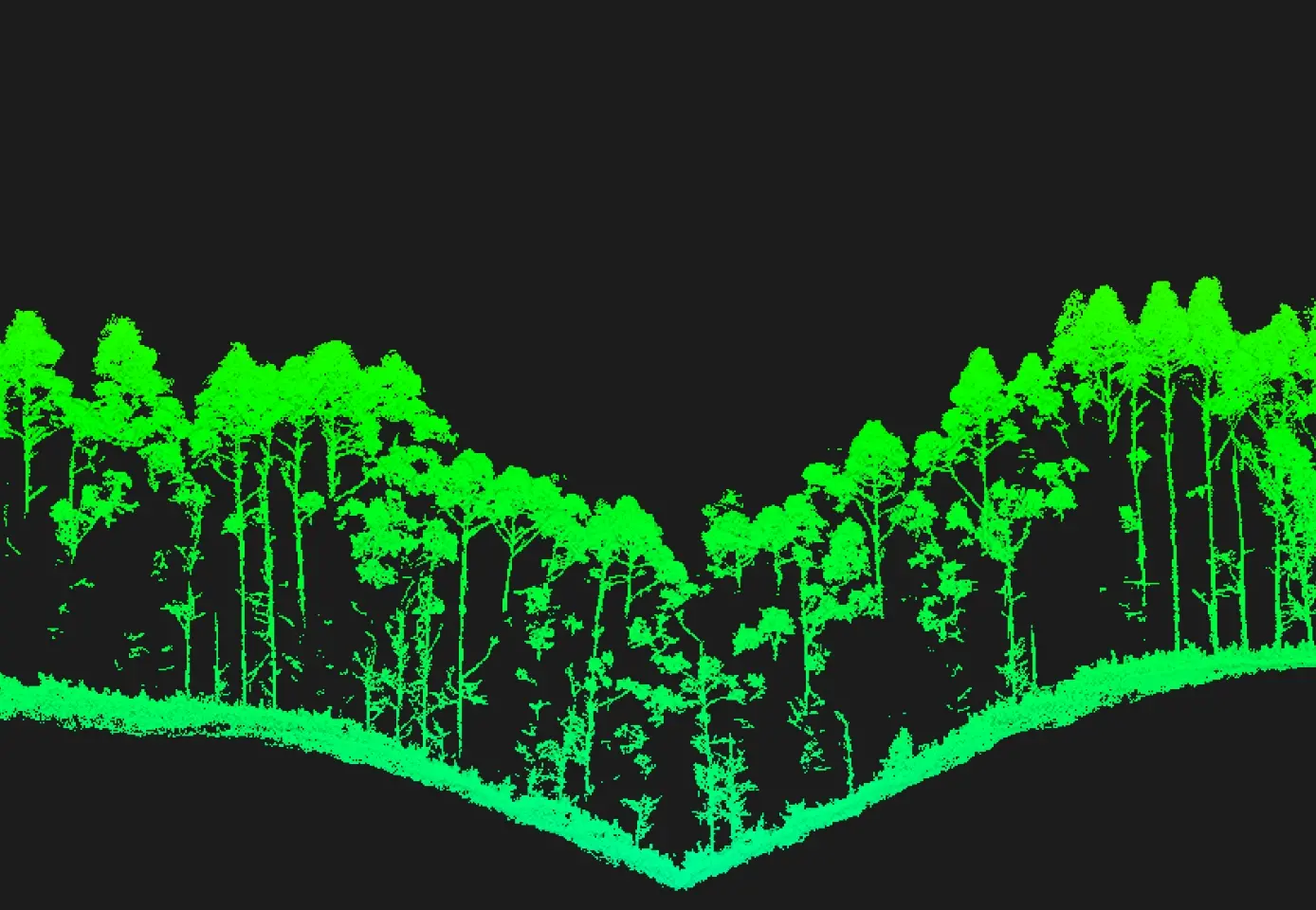
Provides superior penetration capability with a smaller laser spot and higher single-pulse energy. For terrain mapping and similar uses, L3 captures more complete ground points for better results.

High Efficiency
When mounted on DJI Matrice 400, Zenmuse L3 delivers outstanding efficiency. At a flight altitude of 300 m, a single flight can cover up to 10 km², enabling up to 100 km² of daily coverage [2].

End-To-End Solution
Zenmuse L3 integrates with DJI's ecosystem to deliver an end-to-end mapping solution. Enjoy simpler, unified workflows from data acquisition and processing to application.


In the Box

Zenmuse L3
× 1

Zenmuse L3 Lens Cap
× 1

CFexpress™ Type B Memory Card (1 TB) (brand may vary; actual product received prevails)
× 2

CFexpress™ Type B Card Reader
× 1

Zenmuse L3 Storage Case
× 1

Lens Cleaning Cloth
× 1

DJI Matrice 400 Carrying Case Insert (Zenmuse L3)
× 1

Zenmuse L3 Single Gimbal Connector
× 1

Screws and Tools
× 1

Zenmuse L3 Gimbal Damper (4 pcs)
× 1


Let’s Answer Your Questions
What aircraft is Zenmuse L3 compatible with? Which gimbal interface can it be mounted on?
How does the range of Zenmuse L3 change at different laser pulse emission frequencies?
What improvements does Zenmuse L3 have compared to the previous generation?
What is the dual 100MP RGB mapping camera system for?
What type of CFexpress™ memory card does Zenmuse L3 require? What if I use a non-bundled card?
How efficient is the surveying and mapping operation of Zenmuse L3? How is it calculated?
What is the typical flight altitude for Zenmuse L3? What is the corresponding accuracy?
Does Zenmuse L3's real-time point cloud data support cloud sharing?
When DJI Matrice 400 is equipped with Zenmuse L3, what is the supported altitude for Real-Time Follow?
Is a license required to use DJI Terra for processing Zenmuse L3's point cloud data?
Still have questions? Get help from a DJI expert.
1. a. Range Definition: The range is defined as the distance at which 50% of the emitted laser pulses are detected. If a laser beam hits more than one subject, the total laser transmitter power is split and the achievable range is reduced.
b. Test Conditions: 100 klx ambient light, within the central area of the FOV, using a flat subject with a size larger than the laser beam diameter, a perpendicular angle of incidence, and an atmospheric visibility of 23 km.
c. The maximum detection range is 900 m by default. For a longer range, contact DJI support or an authorized dealer.
2. When paired with DJI Matrice 400, Zenmuse L3 can achieve a daily mapping coverage of up to 100 km² (flat terrain, 300m nadir flight altitude, 20% side overlap, 17m/s flight speed, and a total effective flight time of 6 hours).
3. Measured under the following conditions in a DJI laboratory environment:
a.The field contained objects with obvious angular features. DJI Matrice 400 was linked to a position-calibrated D-RTK 3 Multifunctional Station. The flight route was planned using DJI Pilot 2's Area Route (with Calibrate IMU enabled) with Linear scanning. The flight speed was set to 15 m/s, gimbal pitch to -90°, and each straight segment of the flight route was less than 3300 m.
b.Using exposed hard ground checkpoints that conformed to the diffuse reflection model.
c.DJI Terra was used for post-processing with Optimize Point Cloud Accuracy enabled.